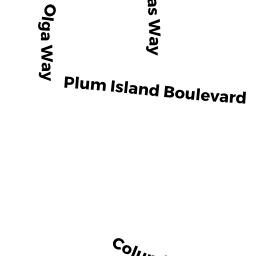
12 SOUTHERN BL
Owner Information
MEINHART JAMES D
27 1/2 JEFFERSON ST
NEWBURYPORT, MA 01950


Property Details
12 SOUTHERN BL is classified as a Undevelopable Residential Land.
12 SOUTHERN BL is valued at $68,700. The land is valued at $68,700 and the structures are valued at $0.
The most recent deed for 12 SOUTHERN BL is recorded at the local registrar in Book 25808, Page 491. 12 SOUTHERN BL was last sold on Friday, June 23, 2006 for $640,000.
Assessment data from fiscal year 2022.
Flood Data
According to the FEMA National Flood Hazard Layer, this property does not appear to be in a flood zone. It may also be in an area not yet reviewed. Nonetheless, confirm this information prior to taking any action.
To view the flood hazards around this property, create a FEMA "Firmette" Map of the area around 12 SOUTHERN BL.
Broadband Internet Providers
| Provider | Type | Bandwidth (mbps) | |
|---|---|---|---|
| Viasat Inc | Satellite | 100 | 3 |
| VSAT Systems, LLC. | Satellite | 2 | 1 |
| HughesNet | Satellite | 25 | 3 |
| GCI Communication Corp. | Satellite | 0 | 0 |
| Comcast | Cable | 1000 | 35 |
| Verizon New England Inc. | DSL | 7 | 0 |
Broadband service provider data from December 2020.
Adjacent Properties
- 16 ANNAPOLIS WAY WEST
Single Family Residential owned by BELSITO RAYMOND - 14 ANNAPOLIS WAY WEST
Single Family Residential owned by JOHN PAUL LAGASSE LIVING TRUST - 25 COLUMBIA WY
Single Family Residential owned by MEINHART JAMES D - 14 SOUTHERN BL
Single Family Residential owned by TRAVERS JEFFREY E. - 10 SOUTHERN BL
Single Family Residential owned by GAUTHIER TE ANNE M